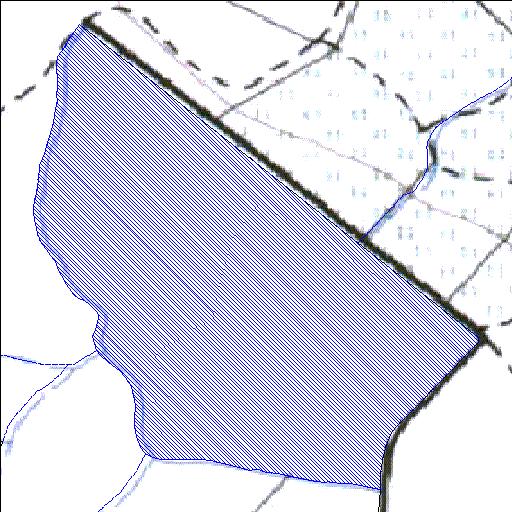
Rivs: _
32o49'14.2"S 22o55'13.2"E
(-32.820604, 22.92032)
Map 3222DD
924m wide x 1145m high
Cape Datum.
Surveys and Mapping.
Data from file
/iwqs3/tmp/dams/tmp/wla500-geo
| Aardoorns365 (reservoir) | ||
|---|---|---|
|
|
|
|
|
Aardoorns365 Rivs: _ |
||
|
Locality: 32o49'14.2"S 22o55'13.2"E (-32.820604, 22.92032) Map 3222DD 924m wide x 1145m high Cape Datum. |
||
|
Surveys and Mapping. Data from file /iwqs3/tmp/dams/tmp/wla500-geo |
||
| <--Previous | Home^ | Next--> | |
| Resource Quality Services | stmaphtml.aml 2004-05-21 - 07:40:27 | |