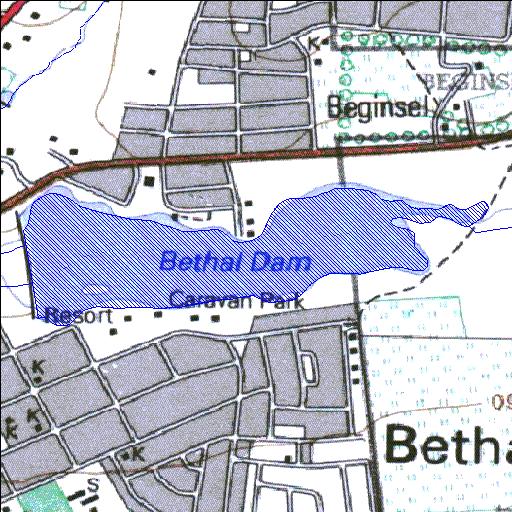
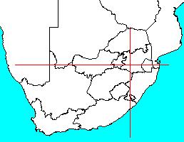
Rivs: Blesbokspruit
26o27'01.6"S 29o29'03.6"E
(-26.450439, 29.484325)
Map 2629AD
1897m wide x 762m high
Cape Datum.
Surveys and Mapping.
Data from file
/iwqs3/tmp/dams/tmp/wla500-geo
| Bethal (reservoir) | ||
|---|---|---|
|
|
|
|
|
Bethal Rivs: Blesbokspruit |
||
|
Locality: 26o27'01.6"S 29o29'03.6"E (-26.450439, 29.484325) Map 2629AD 1897m wide x 762m high Cape Datum. |
||
|
Surveys and Mapping. Data from file /iwqs3/tmp/dams/tmp/wla500-geo |
||
| <--Previous | Home^ | Next--> | |
| Resource Quality Services | stmaphtml.aml 2004-05-21 - 07:57:54 | |