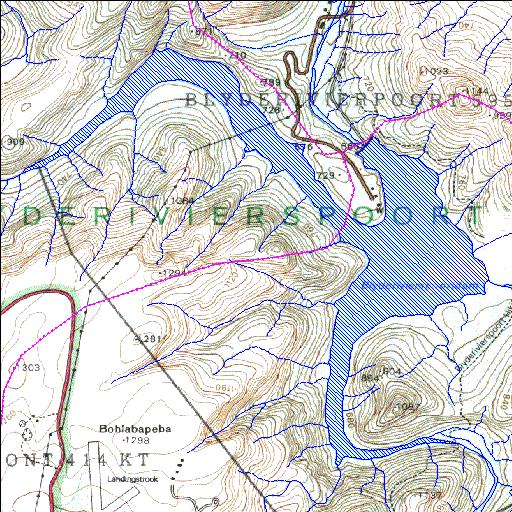
B6R003Q01
Rivs: Blyde Ohrigstad
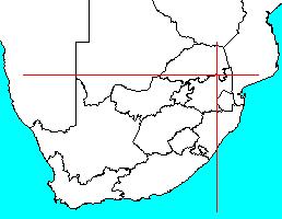
24o32'45.6"S 30o47'17.1"E
(-24.545989, 30.788096)
Map 2430DB
4803m wide x 4776m high
Cape Datum.
Surveys and Mapping.
Data from file
/iwqs3/tmp/dams/tmp/wla500-geo
| Blyderivierspoort (reservoir) | ||
|---|---|---|
|
|
|
|
|
Blyderivierspoort B6R003Q01 Rivs: Blyde Ohrigstad |
||
|
Locality: 24o32'45.6"S 30o47'17.1"E (-24.545989, 30.788096) Map 2430DB 4803m wide x 4776m high Cape Datum. |
||
|
Surveys and Mapping. Data from file /iwqs3/tmp/dams/tmp/wla500-geo |
||
| <--Previous | Home^ | Next--> | |
| Resource Quality Services | stmaphtml.aml 2004-05-21 - 08:08:43 | |