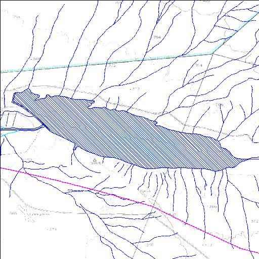
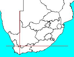
Rivs: Tankwa
32o23'44.3"S 19o55'05.5"E
(-32.395651, 19.918203)
Map 3219BD
5876m wide x 2844m high
Cape Datum.
Surveys and Mapping.
Data from file
/iwqs3/tmp/dams/tmp/wla500-geo
| Bushmanskrantz (reservoir) | ||
|---|---|---|
|
|
|
|
|
Bushmanskrantz Rivs: Tankwa |
||
|
Locality: 32o23'44.3"S 19o55'05.5"E (-32.395651, 19.918203) Map 3219BD 5876m wide x 2844m high Cape Datum. |
||
|
Surveys and Mapping. Data from file /iwqs3/tmp/dams/tmp/wla500-geo |
||
| <--Previous | Home^ | Next--> | |
| Resource Quality Services | stmaphtml.aml 2004-05-21 - 08:29:10 | |