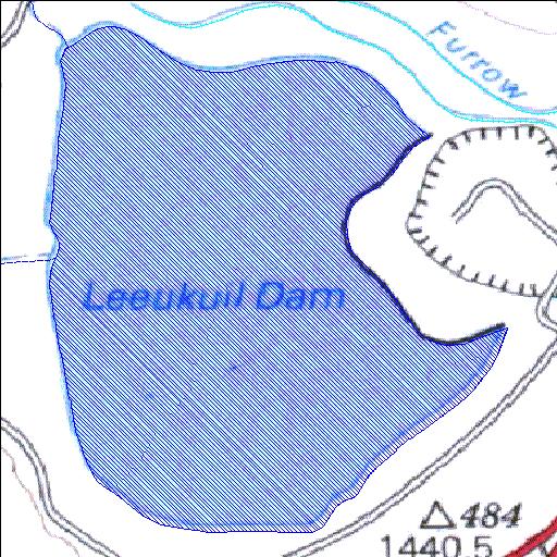
Rivs: _
26o41'09"S 27o53'40.6"E
(-26.685834, 27.894614)
Map 2627DB
1274m wide x 1560m high
Cape Datum.
Surveys and Mapping.
Data from file
/iwqs3/tmp/dams/tmp/wla500-geo
| Leeukuil (reservoir) | ||
|---|---|---|
|
|
|
|
|
Leeukuil Rivs: _ |
||
|
Locality: 26o41'09"S 27o53'40.6"E (-26.685834, 27.894614) Map 2627DB 1274m wide x 1560m high Cape Datum. |
||
|
Surveys and Mapping. Data from file /iwqs3/tmp/dams/tmp/wla500-geo |
||
| <--Previous | Home^ | Next--> | |
| Resource Quality Services | stmaphtml.aml 2004-05-21 - 11:03:17 | |