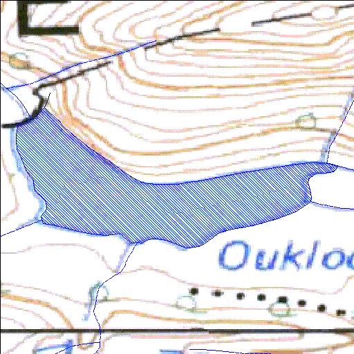
J2R003Q01
Rivs: Cordiers
33o14'46.8"S 22o05'42.2"E
(-33.246338, 22.095059)
Map 3322AA
789m wide x 460m high
Cape Datum.
Surveys and Mapping.
Data from file
/iwqs3/tmp/dams/tmp/wla500-geo
| Oukloof (reservoir) | ||
|---|---|---|
|
|
|
|
|
Oukloof J2R003Q01 Rivs: Cordiers |
||
|
Locality: 33o14'46.8"S 22o05'42.2"E (-33.246338, 22.095059) Map 3322AA 789m wide x 460m high Cape Datum. |
||
|
Surveys and Mapping. Data from file /iwqs3/tmp/dams/tmp/wla500-geo |
||
| <--Previous | Home^ | Next--> | |
| Resource Quality Services | stmaphtml.aml 2004-05-21 - 12:20:19 | |