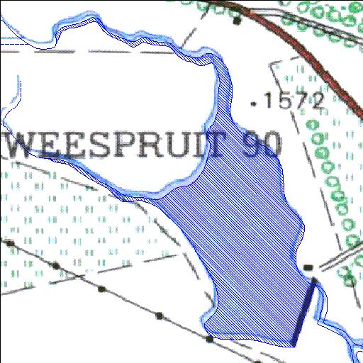
Rivs: _
29o11'44.4"S 27o03'20.7"E
(-29.195675, 27.055749)
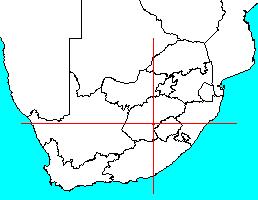
Map 2927AA
1055m wide x 1462m high
Cape Datum.
Surveys and Mapping.
Data from file
/iwqs3/tmp/dams/tmp/wla500-geo
| Tweespruit 90 (reservoir) | ||
|---|---|---|
|
|
|
|
|
Tweespruit 90 Rivs: _ |
||
|
Locality: 29o11'44.4"S 27o03'20.7"E (-29.195675, 27.055749) Map 2927AA 1055m wide x 1462m high Cape Datum. |
||
|
Surveys and Mapping. Data from file /iwqs3/tmp/dams/tmp/wla500-geo |
||
| <--Previous | Home^ | Next--> | |
| Resource Quality Services | stmaphtml.aml 2004-05-21 - 13:46:52 | |