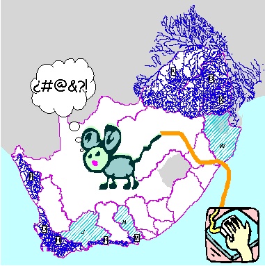
With judicious use of mouse and cursor, we are adjusting the 1:500 000 river coverage, with all its ordering, connectivity and attributes, to more closely match the 1:50 000 river coverage. The map (June 1999) shows completed rivers (blue lines), drainage regions in progress (light blue hatching) and a depressingly large area of white space still to complete...