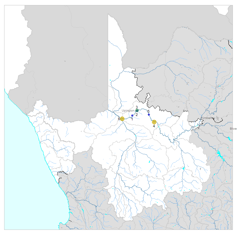
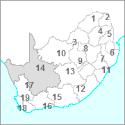
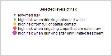
| № |
Site
[
view Lower Orange sites in Google Earth
]
|
Plot all data |
Date |
MPN, or cfu / 100mL
|
Turb.
NTU |
pH |
Temp.
oC |
Risk based on E. coli if recorded, otherwise on faecal coliforms |
| E. coli |
faecal coliforms |
drinking-
no treatment |
drinking-
limited treatment |
full or
partial
contact |
irrigation-
crops eaten raw |
| 1 | 184050 [2-month plot]
Kanoneiland Canal at Bloemsmond Balancing Dam |

|
2007-08-14 |
0 |
- |
- |
8.6 |
14.6 |
low |
low |
low |
low |
| 2 | 184054 [2-month plot]
Abstraction Point at Upington Canal at DWAF Office |

|
2007-08-14 |
3 |
- |
- |
8.7 |
15.1 |
Med |
low |
low |
low |
| 3 | 184055 [2-month plot]
Orange River at Intake of Upington Water Works |

|
2007-08-14 |
24 |
- |
- |
8.4 |
12.9 |
HIGH |
low |
low |
low |
| 4 | 188477 [2-month plot]
Groblershoop on Boegoeberg Canal on Left Bank (South) |

|
2007-08-14 |
2419 |
- |
- |
8.9 |
16.4 |
HIGH |
Med |
HIGH |
Med |
| 5 | 188479 [2-month plot]
Gariep on Gariep Right (North) Bank Canal |

|
2007-08-14 |
5 |
- |
- |
8.6 |
13.2 |
Med |
low |
low |
low |
| 6 | 188482 [2-month plot]
Kakamas on Southern Bank Canal (Left) at Kakamas |

|
2007-08-14 |
2419 |
- |
- |
9.2 |
16.9 |
HIGH |
Med |
HIGH |
Med |


