| № |
Site
[
view Mzimvubu to Keiskamma sites in Google Earth
]
|
Plot all data |
Date |
MPN, or cfu / 100mL
|
Turb.
NTU |
pH |
Temp.
oC |
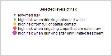
Risk based on E. coli if recorded, otherwise on faecal coliforms |
| E. coli |
faecal coliforms |
drinking-
no treatment |
drinking-
limited treatment |
full or
partial
contact |
irrigation-
crops eaten raw |
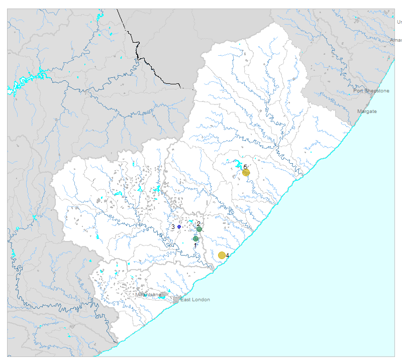
| 1 | 102565 [2-month plot]
Gcuwa River at Butterworth |

|
2013-02-14 |
200 |
- |
- |
- |
- |
HIGH |
low |
Med |
low |
| 2 | 187141 [2-month plot]
Gcuwa a 1 on Zinqayi |

|
2013-02-07 |
200 |
- |
- |
- |
- |
HIGH |
low |
Med |
low |
| 3 | 187146 [2-month plot]
Upper Ngculu Village at Nqamakwe on Ngculu |

|
2013-02-05 |
8 |
- |
- |
- |
- |
Med |
low |
low |
low |
| 4 | 187578 [2-month plot]
Cebe Centane Area Mnquma District on Nxaxo |

|
2013-02-15 |
2420 |
- |
- |
- |
- |
HIGH |
Med |
HIGH |
Med |
| 5 | 1000002387 [2-month plot]
Mtata River 8 at the Bridge below Mthatha WWTW |

|
2013-01-21 |
1400 |
2700 |
211 |
7.3 |
- |
HIGH |
low |
HIGH |
Med |
| 5 | 1000002387 | |
2013-02-27 |
540 |
920 |
188 |
7.3 |
- |
HIGH |
low |
HIGH |
low |


