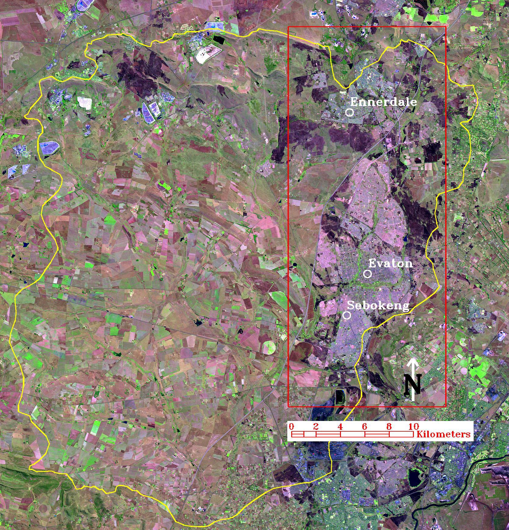
LANDSAT SATELLITE IMAGE DATA FOR TRACKING URBAN EXPANSION - APRIL 1998
Click on image for 800kbyte version
|
From about 1993 the Institute for Water Quality Studies has been involved in projects to
monitor changes in land cover and water quality in the Rietspruit catchment. The following publications summarise the findings of these projects:
Please send comments on these pages to Michael Silberbauer at the Institute for Water Quality Studies. |
|
[ IWQS Home Page ] |
|