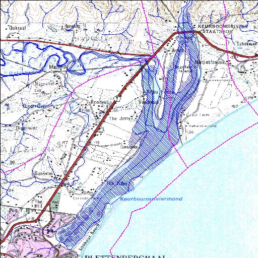
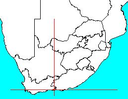
Rivs: Bietou Keurbooms
34o01'24.5"S 23o23'19.7"E
(-34.023476, 23.388814)
Map 3323CD 3423AB
3312m wide x 6322m high
Cape Datum.
Surveys and Mapping.
Data from file
/iwqs3/tmp/dams/tmp/wla500-geo
| Keurbooms Estuary (natural) | ||
|---|---|---|
|
|
|
|
|
Keurbooms Estuary Rivs: Bietou Keurbooms |
||
|
Locality: 34o01'24.5"S 23o23'19.7"E (-34.023476, 23.388814) Map 3323CD 3423AB 3312m wide x 6322m high Cape Datum. |
||
|
Surveys and Mapping. Data from file /iwqs3/tmp/dams/tmp/wla500-geo |
||
| <--Previous | Home^ | Next--> | |
| Resource Quality Services | stmaphtml.aml 2004-05-21 - 10:10:46 | |