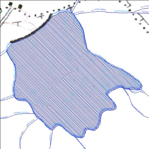
Rivs: _
31o27'09.6"S 23o32'00.9"E
(-31.452662, 23.533579)
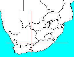
Map 3123BC
1059m wide x 1166m high
Cape Datum.
Surveys and Mapping.
Data from file
/iwqs3/tmp/dams/tmp/wla500-geo
| Nieuwefontein089 (reservoir) | ||
|---|---|---|
|
|
|
|
|
Nieuwefontein089 Rivs: _ |
||
|
Locality: 31o27'09.6"S 23o32'00.9"E (-31.452662, 23.533579) Map 3123BC 1059m wide x 1166m high Cape Datum. |
||
|
Surveys and Mapping. Data from file /iwqs3/tmp/dams/tmp/wla500-geo |
||
| <--Previous | Home^ | Next--> | |
| Resource Quality Services | stmaphtml.aml 2004-05-21 - 11:58:57 | |