V7R001Q01
Rivs: Boesmans
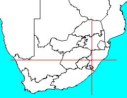
29o03'38.6"S 29o50'00.6"E
(-29.060712, 29.833489)
Map 2929BB
4398m wide x 5559m high
Cape Datum.
Surveys and Mapping.
Data from file
/iwqs3/tmp/dams/tmp/wla500-geo
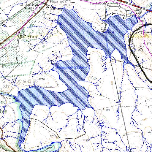
| Wagendrift (reservoir) | ||
|---|---|---|
|
|
|
|
|
Wagendrift V7R001Q01 Rivs: Boesmans |
||
|
Locality: 29o03'38.6"S 29o50'00.6"E (-29.060712, 29.833489) Map 2929BB 4398m wide x 5559m high Cape Datum. |
||
|
Surveys and Mapping. Data from file /iwqs3/tmp/dams/tmp/wla500-geo |
||
| <--Previous | Home^ | Next--> | |
| Resource Quality Services | stmaphtml.aml 2004-05-21 - 14:18:32 | |