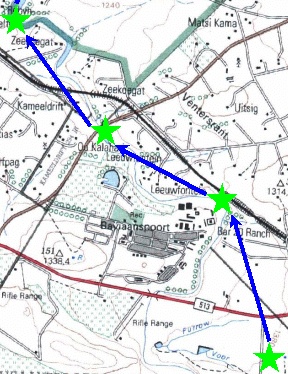
The GIS operator or scanning program has collected vertices at too coarse a spacing for this scale.
This is not necessarily wrong: For example, if you are plotting South Africa at a scale of 1:2000000, too many vertices will be a disadvantage, slowing down plotting time and cluttering the map.