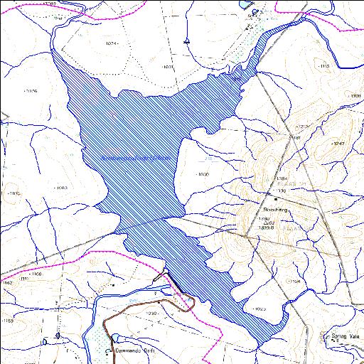
Q4R002Q01
Rivs: Poort Tarka Vlekpoort
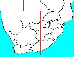
32o05'20.2"S 26o02'37.4"E
(-32.088942, 26.043712)
Map 3226AA
5351m wide x 7800m high
Cape Datum.
Surveys and Mapping.
Data from file
/iwqs3/tmp/dams/tmp/wla500-geo
| Kommandodrift (reservoir) | ||
|---|---|---|
|
|
|
|
|
Kommandodrift Q4R002Q01 Rivs: Poort Tarka Vlekpoort |
||
|
Locality: 32o05'20.2"S 26o02'37.4"E (-32.088942, 26.043712) Map 3226AA 5351m wide x 7800m high Cape Datum. |
||
|
Surveys and Mapping. Data from file /iwqs3/tmp/dams/tmp/wla500-geo |
||
| <--Previous | Home^ | Next--> | |
| Resource Quality Services | stmaphtml.aml 2004-05-21 - 10:36:09 | |