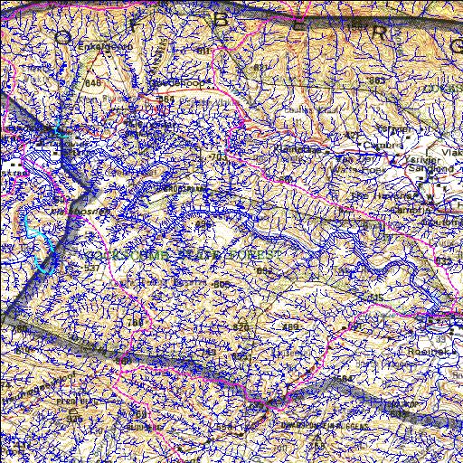
L8R001Q01
Rivs: Baviaanskloof Kouga
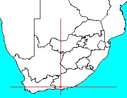
33o42'01.7"S 24o29'34.6"E
(-33.700483, 24.492931)
Map 3324CB 3324DA 3324CD 3324DC
20720m wide x 11300m high
Cape Datum.
Surveys and Mapping.
Data from file
/iwqs3/tmp/dams/tmp/wla500-geo
| Kouga (reservoir) | ||
|---|---|---|
|
|
|
|
|
Kouga L8R001Q01 Rivs: Baviaanskloof Kouga |
||
|
Locality: 33o42'01.7"S 24o29'34.6"E (-33.700483, 24.492931) Map 3324CB 3324DA 3324CD 3324DC 20720m wide x 11300m high Cape Datum. |
||
|
Surveys and Mapping. Data from file /iwqs3/tmp/dams/tmp/wla500-geo |
||
| <--Previous | Home^ | Next--> | |
| Resource Quality Services | stmaphtml.aml 2004-05-21 - 10:43:44 | |