| RHP |
South African
River Health Programme |
State of the Rivers Report
Letaba & Luvuvhu River Systems |


|
|
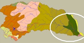
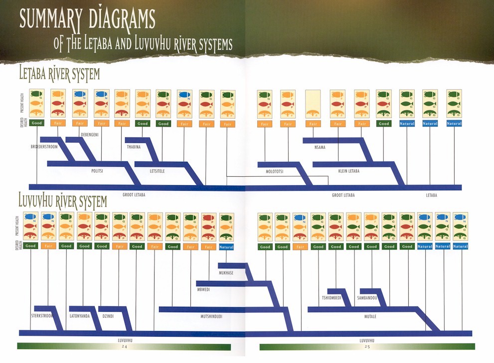
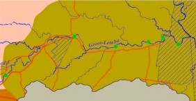
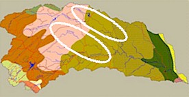
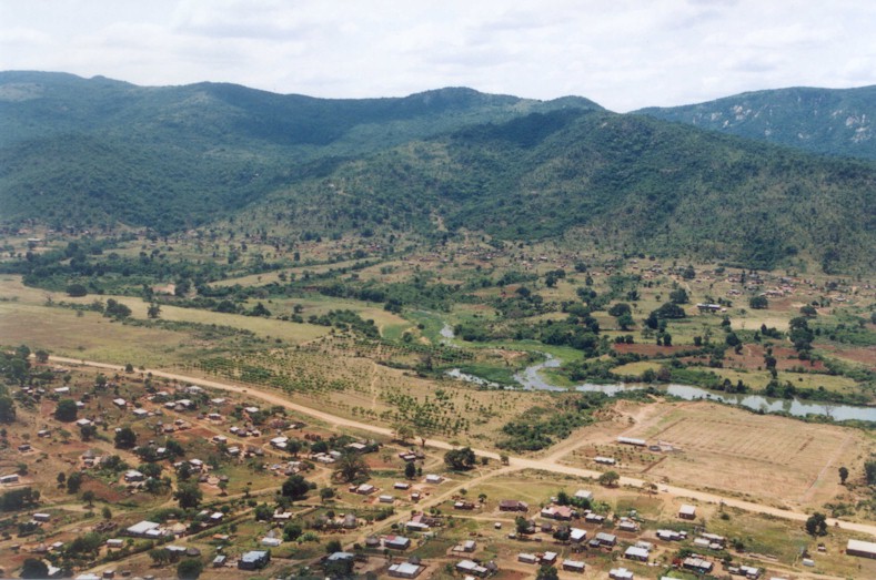
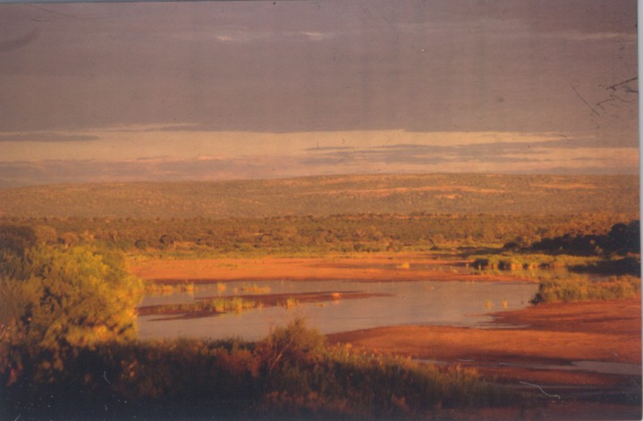
The Letaba River Catchment |
|
|
|
Mean annual runoff (MAR) in the Letaba Catchment varies from more than 10% of the mean annual precipitation (MAP) in the wet mountainous zone to less than 2% in the drier parts of the catchment. More than 60% of the MAR in this catchment derives from only 6% of the area. More than 20 major dams have been constructed in the Groot Letaba River catchment. The Tzaneen Dam on the Groot Letaba River and the Middel Letaba Dam are the two largest dams in the Northern Province. Other large dams in the catchment include the Ebenezer, Magoebaskloof, Nsami and Modjadji Dams. As mountain and foothill streams, the Groot Letaba, Letsitele, Thabina, Debengeni and Magoebaskloof rivers have very diverse in-stream habitats. The river channels contain steep bedrock and fixed boulder rapids with cascades and occasional waterfalls. Cobble riffles occur in lower gradient sections. Deep pools are present in all river sections. These perennial rivers rise in the Great Escarpment Mountains. The Klein Letaba, Nsama and Molototsi Rivers are typical sandy lowveld rivers, with deeply incised river channels. Wide sandy runs are interspersed with occasional gravel riffles. Bedrock dykes cross these rivers at infrequent intervals, occasionally causing deep pools on their upstream sides. River flows vary considerably during a single annual cycle. Below the confluence of the Groot and Klein Letaba rivers, (at the KNP border) the Letaba River channel takes on the characteristics of the Klein Letaba River. The Letaba River passes through a steep confined gorge just before joining the Olifants River near the Mozambique border. |
|
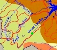
Debengeni River
|
|
||||||||||
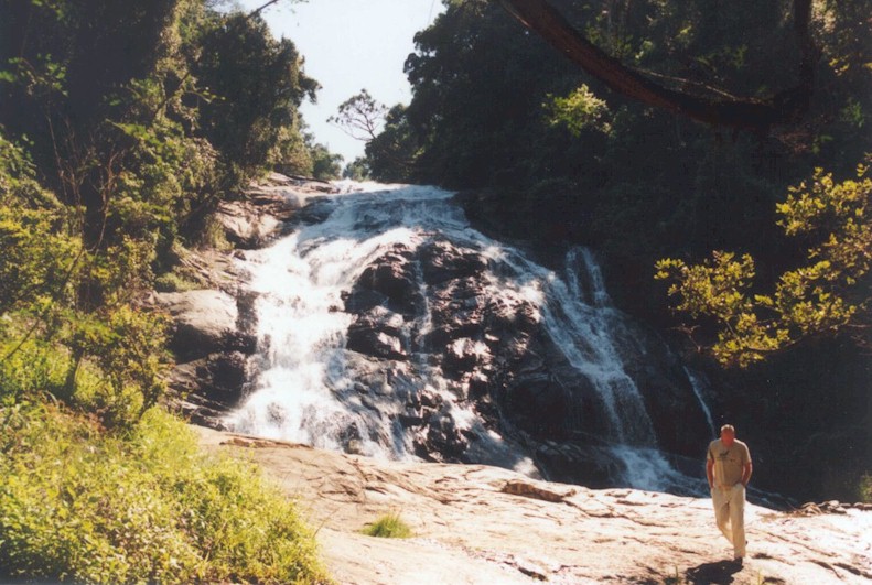
The Debengeni Waterfalls attract tourists. Tourism could be of great economic benefit to this area, provided authorities incorporate environmental considerations into their planning. |
Plantations and roads impair the functionality of the riparian zone. Alien plants and pine plantations are very close to the river�s edge. |
||||||||||
|
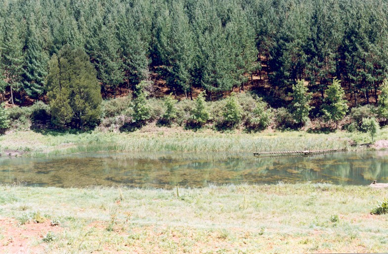
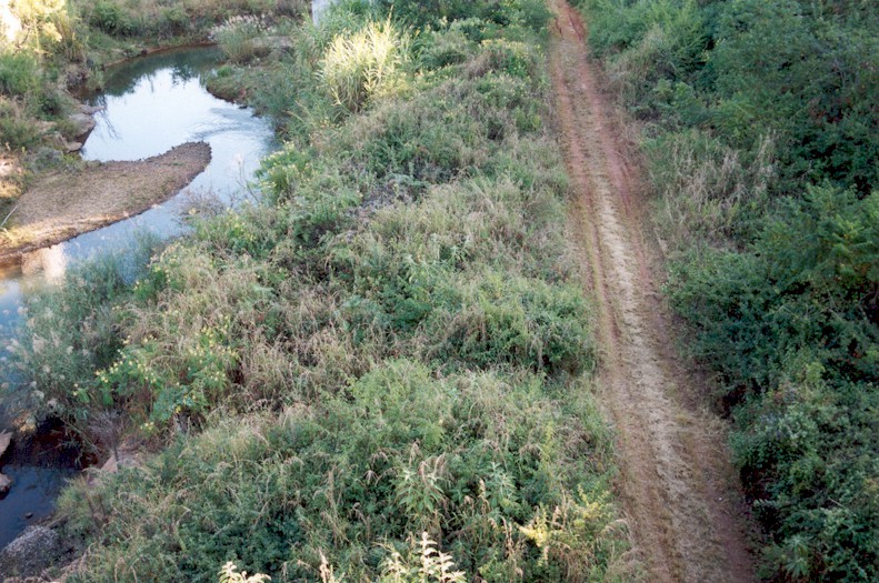
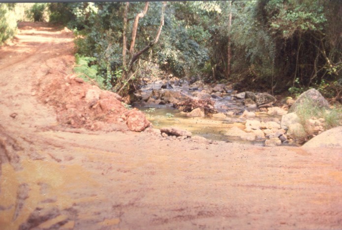
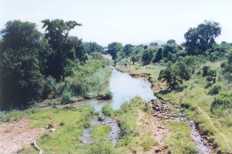
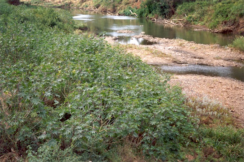
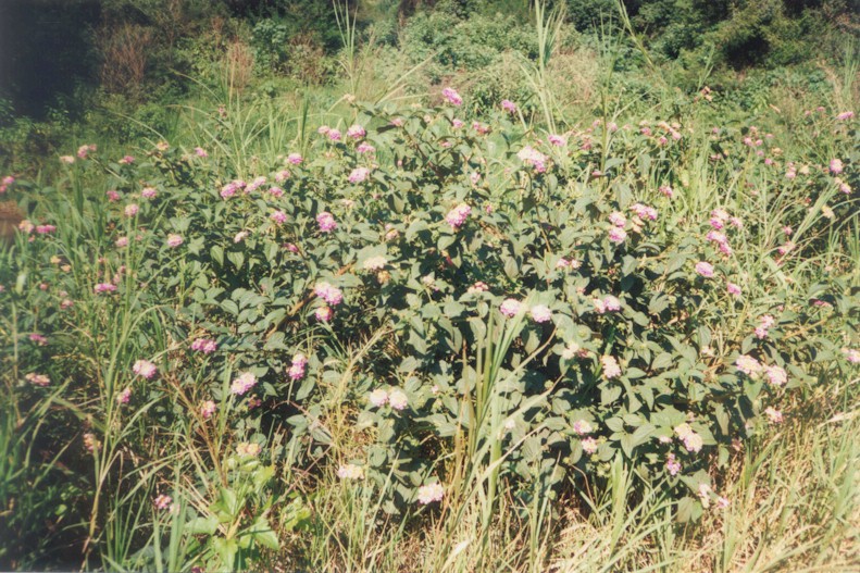
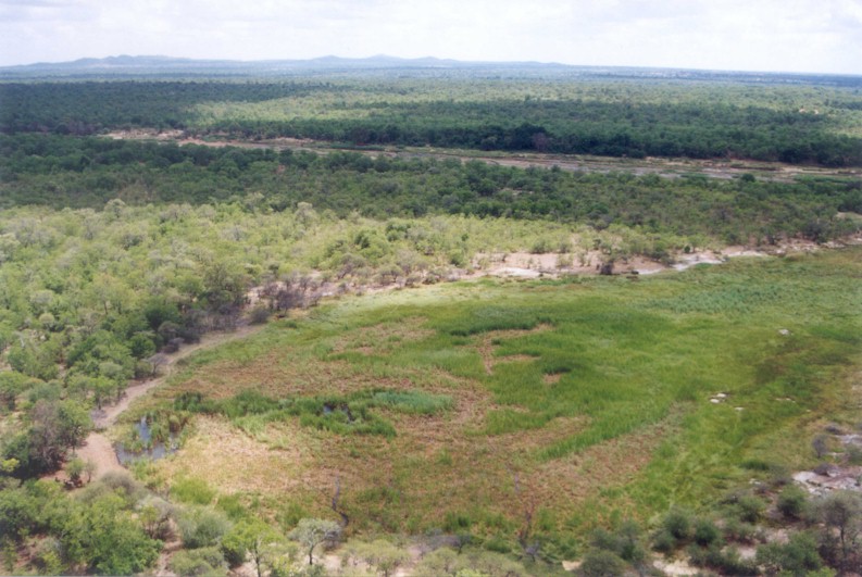
Groot Letaba River
The sharp descent from the Central Highlands to the Lowveld makes this an area of incised streams and numerous waterfalls. |
|
||||||||||
|
Bridge construction has disturbed bank vegetation, causing erosion. Bramble, lantana, bugweed, pines and other alien plants abound in this region. |
|
||||||||||
|
Forestry and River Health Alien trees need plenty of water, therefore plantations are typically located in the high rainfall regions of a catchment. Plantations and stream sources often coincide and special attention needs to be paid to river health in these areas. The main forestry-related impacts on river systems are streamflow reductions and erosion and siltation associated with roads and harvesting activities. Plantations cover 3.5% of the Letaba Catchment (30 577 ha eucalypts and 17 851 ha pines) and forestry is an economically and socially important industry. Since the early 1990�s, the industry has recognized the need for an environmentally sensitive approach to forestry-related activities and has played a pioneering role in incorporating environmental strategies as part of the business.
|
Forestry management recommendations The forestry industry�s management recommendations with positive consequences for river health include:
|
||||||||||
|
|
|||||||||||
|
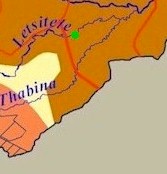
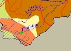
Downstream of the Magoebaskloof Dam, the Politsi River enters the gently sloping Lowveld. A waterfall in the Letsitele River marks the transition from ecoregion 4.03 to ecoregion 4.04. Forestry plantations take up 30% of the total land cover of ecoregion 5.05 in this area and 64% of the area upstream of Tzaneen Dam. Subsistence farming covers 35% and commercial farming 7% of ecoregion 4.04. Ecoregion 5.05 in the Thabina and Letsitele catchments comprises 36% subsistence farming and 22% commercial farming (nearly 45% of the latter is under irrigation). |
| ||||||||||
|
Politsi River
|
|
||||||||||
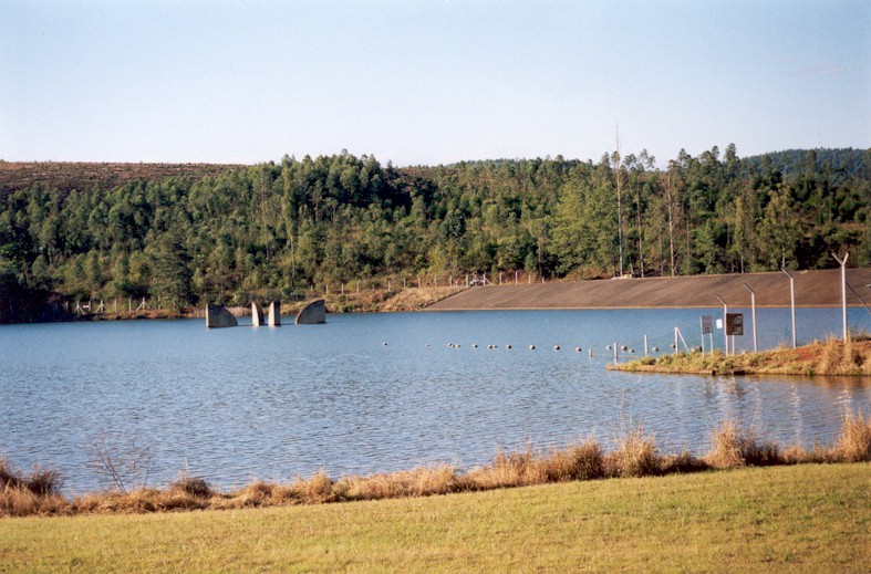
Magoebaskloof Dam, despite its small size, interrupts the natural flow pattern of the river. It is an irrigation dam with little capability for water releases, so that the resulting downstream flow pattern modifies river habitats. |
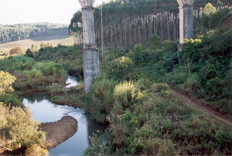
Roads next to the Politsi River and bridges across it cause erosion and siltation. Lantana, jacaranda, bugweed and eucalypts are some of the alien plant species infesting this site. |
||||||||||
|
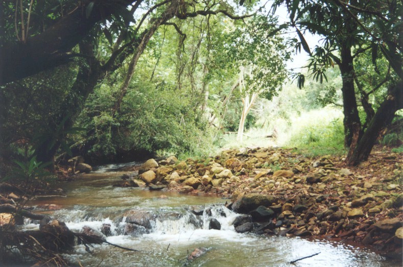
Letsitele River
|
|
||||||||||
|
The riparian vegetation is in good condition, but invaded with numerous alien plants such as the castor-oil plant, sesbania, wild tobacco, large cocklebur (photograph) and sugar cane. Small weirs allow abstraction for agricultural purposes. |
|
||||||||||
|
Letsitele River
|
|
||||||||||
|
Alien plants invading the riparian habitat include peanut butter cassia, castor-oil plant, sesbania, ageratum and large cocklebur. A rail bridge and small weir dominate this stretch of river and solid waste pollution occurs. The river is used for irrigation and washing of clothes. Despite these impacts, the water quality and in-stream habitat is good. |
|||||||||||
|
Thabina River
|
|
||||||||||
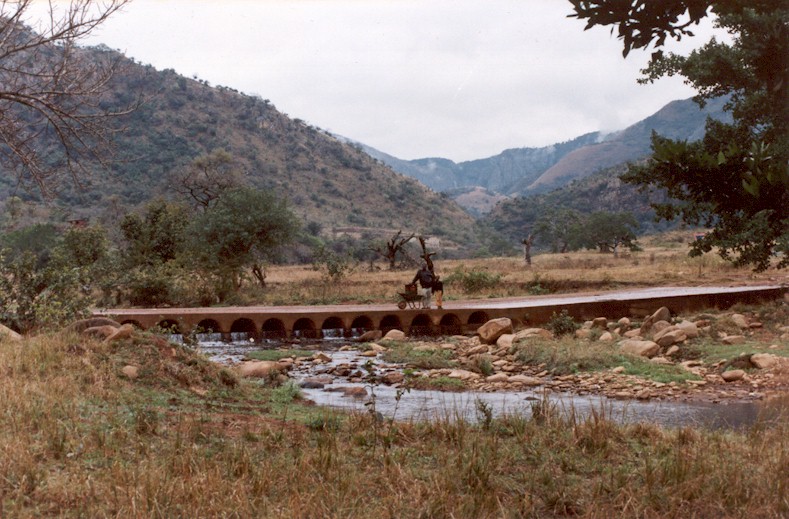
The riparian vegetation is under threat from excessive use by local communities and invasion by a host of alien plants, such as triffid weed (paraffin bush). |
|
||||||||||
|
|
|||||||||||
|
The Groot Letaba River has a rocky bed with many small channels and islands. Commercial agriculture, of which more than 42% is under irrigation, covers 55% of the Groot Letaba Catchment within ecoregion 5.05. Farming activities comprise also nearly 25% of ecoregion 5.02 in this catchment outside of the KNP. This is made up of about 55% subsistence farming (20 800 ha) and nearly 40% commercial irrigated farmlands
Hippos and crocodiles have successfully adapted to life in agricultural dams. |
|
||||||||||
|
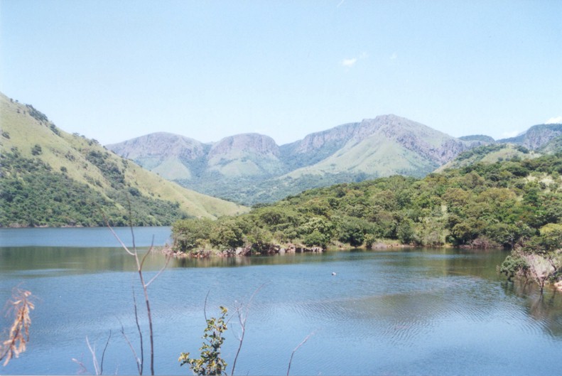
Groot Letaba River
|
|
||||||||||
|
Bananas compete with invasive alien plants like lantana, castor-oil plant, bugweed, large cocklebur and peanut butter cassia for a place amongst the natural riparian vegetation. |
|
||||||||||
|
Floods are a natural phenomenon
Flood flows are important events in the yearly cycle of many river systems. Flood waters are responsible for transporting sediments and for defining the shape of river channels. Silts and sediments are deposited onto banks and into flood plain areas, which promote the healthy regrowth of vegetation. The Letaba Catchment�s several thousand impoundments range from small agricultural dams to larger government dam structures. The dams must first fill before waters spill into the natural systems. |
Migration Barriers Dams, weirs and natural waterfalls often act as barriers to the movement and migration of fish and invertebrates. Where such barriers occur, large numbers of fish can often be seen accumulating at the foot of the barrier, where they are susceptible to predation and poaching. A few species such as eels are able to navigate past even large barriers, provided that the surface is rough. Some fish migrate downstream and sudden elevation drops can kill them. A fishway ensures that fish are able to move across the barrier. The Letaba River has many large dams that do not have fishways and as a result, several fish species no longer occur in the upper catchment.
|
||||||||||
|
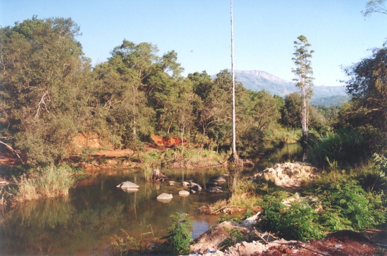
Groot Letaba River
|
|
||||||||||
|
Towards the eastern part of the Letaba River, local communities over-utilise the vegetation in the riparian zone through cutting and grazing. Alien plants have invaded the remaining riparian vegetation. The condition of the northern bank is worse than that of the southern bank. Agricultural pesticides and fertilisers affect water quality and are the biggest threat to the western section of the Groot Letaba River. |
|
||||||||||
|
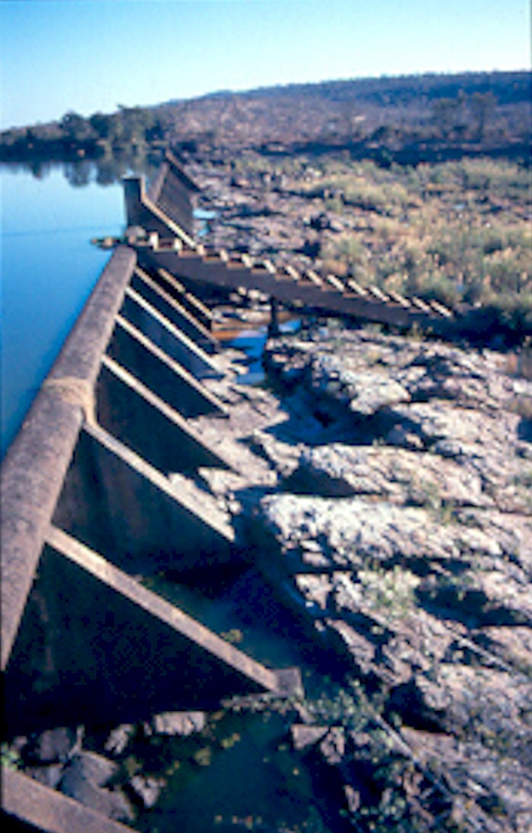
Large weirs disrupt flows in river systems: apart from impeding fish migration, they cause bank scouring, sedimentation and loss of riparian vegetation. |
|
||||||||||
|
Construction of new dams and EIAs The National Environmental Management Act (NEMA) requires an Environmental Impact Assessment (EIA) before any new weir or dam can be built. An EIA: The proposed Nwamitwa Dam, at the confluence of the Groot Letaba and Nwanedzi Rivers, should be evaluated against the findings of an EIA. |
SHADE NET FISHING is often carried out below migration barriers such as dams and weirs and in pools of seasonal rivers. The growing trend of fishing with the use of shade netting raises a number of problems: |
||||||||||
|
|
|||||||||||
|
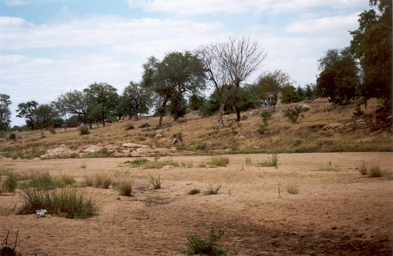
The Molototsi River is a seasonal stream. The river is mostly a small trickle that disappears into the sand before it reaches the main river, but it experiences occasional heavy flooding during the summer months. Subsistence farming is the main land-use in the Molototsi (36%) and Nsama River catchments (32%). Urban developments comprise 6,5% and 5% of the total catchment areas respectively.
|
| ||||||||||
|
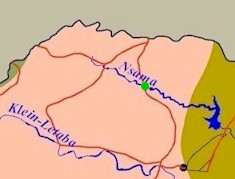
Nsama River During this survey, the Nsama River in ecoregion 5.03 was dry and no fish or invertebrate index scores are available.
|
|
||||||||||
|
Vegetation cutting by local communities and occurrence of alien invasive vegetation have negative impacts on the riparian habitats. |
|
||||||||||
|
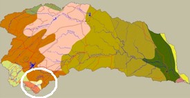
Nsama River
|
|
||||||||||
Rural communities and their cattle impact on water quality, especially during the dry season. Washing, agriculture, cutting of trees and overgrazing within the riparian zone and other poor land-use practices all contribute to the problem. |
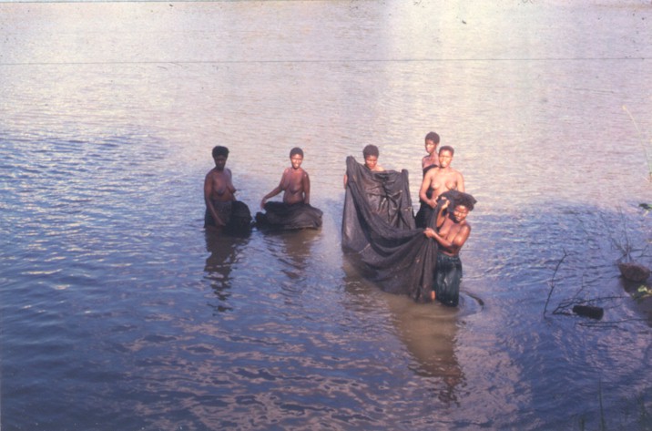
Fishing with shade nets is not a sustainable harvesting practice. No releases are made from the Nsami Dam. A canal system exists for irrigation of bananas from the Nsami Dam. The Mangombe Nature Reserve is next to the Nsami Dam. |
||||||||||
|
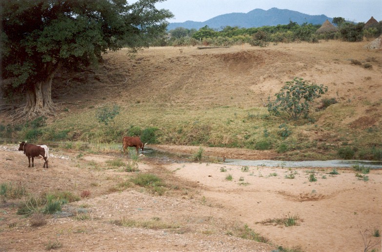
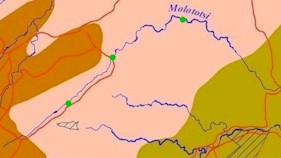
Molototsi River
|
|
||||||||||
The Molototsi River downstream from the Modjadji Dam. The Modjadji Dam, which stores water for domestic use, restricts flow downstream. The dam management programme does not include water releases that benefit the river ecology. This loss of flow is detrimental to the next 20-30km of river. |
The Modjadji Cycad Reserve overlooks the Modjadji Dam. Overgrazing, vegetation cutting and other poor agricultural practices occur in the catchment. |
||||||||||
|
Molototsi River
|

|
||||||||||
Environmentally unsustainable land-use practices result in accelerated erosion.
|
Pools in seasonal rivers are important sanctuaries for fish. Rivers such as the Klein Letaba and Molototsi rivers retain very few permanent pools of water throughout the dry season. In addition, these rivers have few flowing tributaries. |
||||||||||
|
|
|||||||||||
|
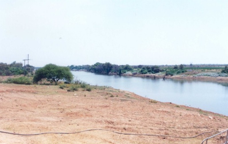
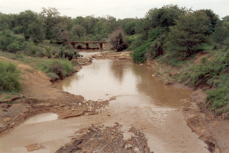
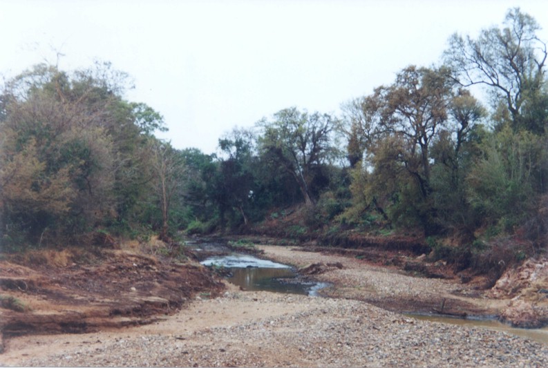
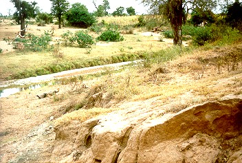
The Klein Letaba tributaries like the Soeketse and Koedoes rivers are wide, dry and sandy ditches for most of the year. The Middel Letaba Dam is situated in the Middel Letaba River. Subsistence farming takes up 35% of the total land-use in ecoregion 5.03 in the Klein Letaba Catchment and 20% in ecoregion 5.02 upstream of the confluence with the Nsama River. There is no commercial farming and less than 8% subsistence farming downstream of the confluence with the Nsama River. |
|
||||||||||
|
Klein Letaba River
|
|
||||||||||
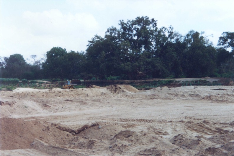
Lantana and triffid weed are the most serious alien invader plants in ecoregion 5.03. Apart from alien invasive plants like large cocklebur, castor-oil plant and thistle in ecoregion 5.02, the riparian vegetation is in very good health. Sand mining destroys natural habitat and is unsightly. Agriculture consists of small-scale farming by rural communities and large commercial banana, papino, paw-paw and mango plantations upstream from Giyani. The commercial fruit farms are fed by the Middel Letaba Canal irrigation scheme. |
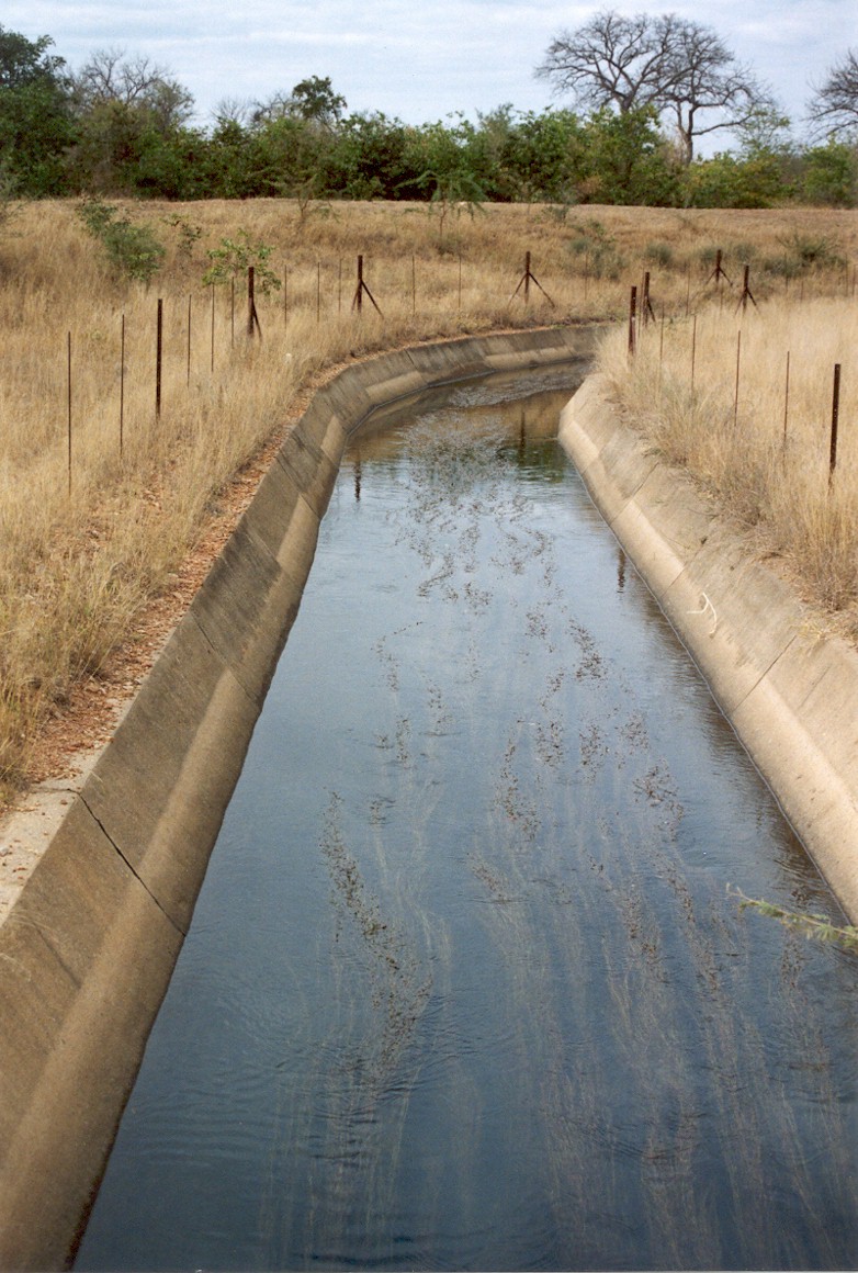
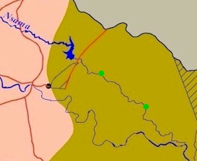
The Middel Letaba Dam dates from the 1980s and has no facility to provide water releases that could benefit river ecology. The dam feeds a 60 km long irrigation canal (photograph) which flows into the Nsama Dam. Spillage and seepage from the dam ensure good refuges for fish in the area just below the dam. |
||||||||||
|
|
|
||||||||||
|
Klein Letaba River
|
|
||||||||||
The lower end of the river (in this ecoregion) is in quite good condition. Population densities near the river are low because the roads and infrastructure tend away from the river. |
The eastern area of this ecoregion around the Klein Letaba River has the potential to be incorporated into the Kruger National Park. |
||||||||||
|
Downstream of Soutini, the river has more permanent water. The river is close to natural with exceptionally good indigenous vegetation and almost no human impacts. A small salt works, fed by a natural geological fault, thrives. |
|
||||||||||
|
Overgrazing in the riparian zone contributes toward donga erosion. |
|
||||||||||
|
|
|||||||||||
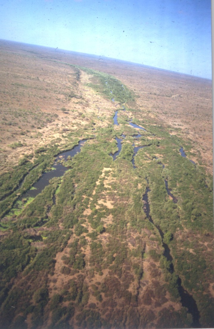
|
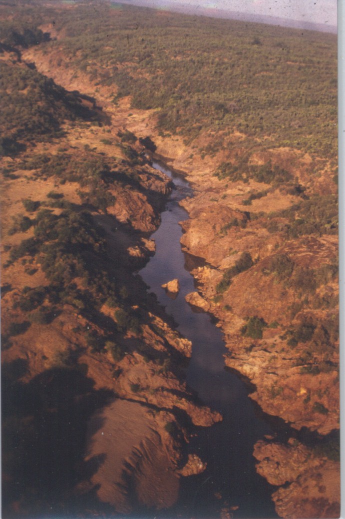
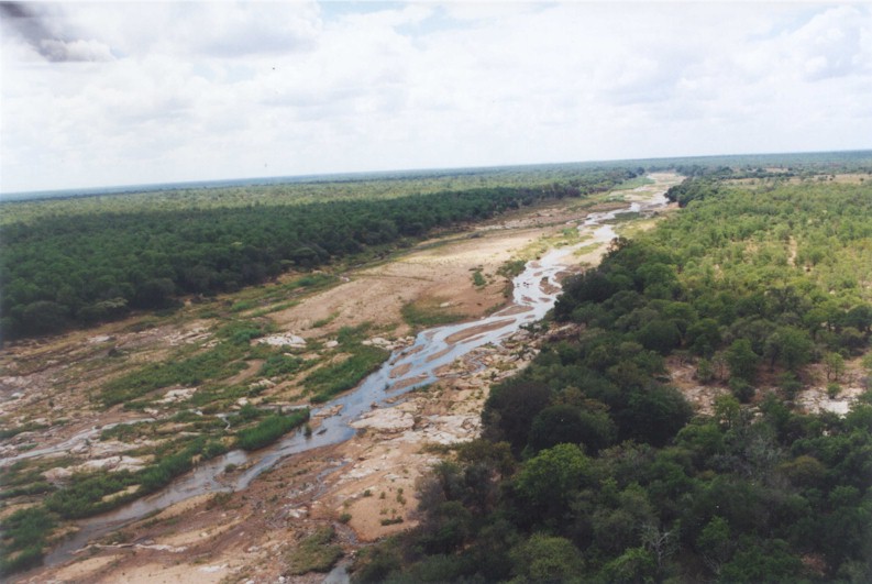
The very sandy reaches of the Letaba River support only a narrow riparian vegetation band. The riverbed in ecoregion 5.01 is sandy with increasing occurrences of bedrock downstream. The Letaba River in the KNP forms multiple channels of up to 300 m wide. In ecoregion 5.07 and 6.01 the Letaba River flows through a series gorges and ravines. These could form significant fish barriers if water flows were to drop below a certain level.The very sandy reaches of the Letaba River support only a narrow riparian vegetation band. The riverbed in ecoregion 5.01 is sandy with increasing occurrences of bedrock downstream. The Letaba River in the KNP forms multiple channels of up to 300 m wide. In ecoregion 5.07 and 6.01 the Letaba River flows through a series gorges and ravines. These could form significant fish barriers if water flows were to drop below a certain level. |
|
||||||||||
|
Letaba River
|
|
||||||||||
|
|
|
||||||||||
|
The Klein Letaba carries high sediment loads because of erodible soils and poor land management in the catchment. At the confluence of the Groot and Klein Letaba Rivers the gradient decreases and lower flow rates allows sediment to settle, aggravating the natural sand deposition on the Letaba River bed. Impoundment and abstraction, mainly for agriculture, reduce the flow of the Groot Letaba River, causing further settling of sediment. In response to the lack of water brought in by the Groot Letaba, the Kruger National Park administration has had to build dams to provide water for game and to create habitats for fish, mammals, birds and reptiles. The setting of Ecological Reserves for rivers gives the KNP management the confidence to cease all dam building practices.
|
A decision was made not to repair all the flood-damaged dams in the KNP, e.g. the Black Heron Dam is modified into a low flow guaging weir with fishladder and Shimuwini Dam completely removed. 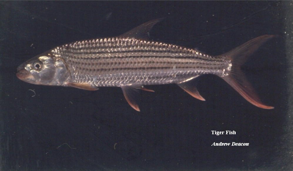
There have been no recordings of the tiger fish in the Letaba River outside of the Kruger National Park since 1990. This temperature sensitive species dies at temperatures below 15�C. Dam walls obstruct migration towards warmer waters during cold spells. KNP in collaboration with Northern Province Environmental Affairs and private sponsors has recently begun reintroducing tiger fish into selected Northern Province dams. |
||||||||||
|
Letaba River
|
|
||||||||||
|
|
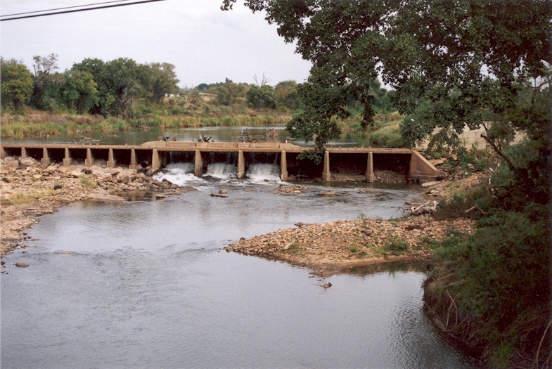
Both dams in this area, the Mingerhout Dam and the Engelhardt Dam further downstream near Letaba Camp, have good fishways. |
||||||||||
|
Very little riparian vegetation is present and the terrestrial vegetation grows right up to the rocky edges of the river. Most fish species found here are large and predatory. Crocodiles are abundant within the KNP. This section will form part of the Gaza-Kruger-Gonarezhou Transfrontier Park. |
||||||||||


|
|||||||||||