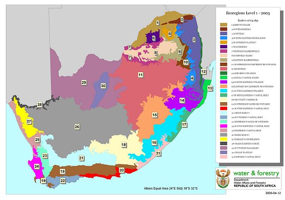
A delineation of ecoregions for South Africa derived from terrain and vegetation,
with altitude, rainfall, runoff variability, air temperature, geology and soil.
|
Download:
Disclaimer: The Department of Water and Sanitation accepts no responsibility for the accuracy of this data --
the outlines may change as the custodian incorporates more data sets. Note that transition zones between regions
are about 5km wide.
Last map update: 2005
Contact persons:
Christa Thirion (Ecoregions)
Mike Silberbauer (GIS and web page queries)
Custodian:
Resource Quality Information Services,
Department of Water and Sanitation,
Private Bag X313, Pretoria, 0001, South Africa
|
|