|
|
| RHP |
South African
River Health Programme
|
State of the Rivers Report
uMngeni River and Neighbouring Rivers and Streams
|
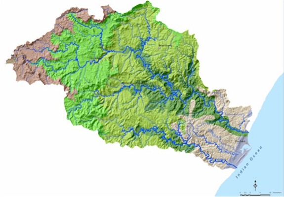
UMNGENI AND NEIGHBOURING CATCHMENT ECOREGIONS
|
|
CATCHMENT STATISTICS
uMngeni catchment size:
441km2, river length 225km from source to mouth;
uMsunduze catchment size:
875km2, tributary length 115km
uMlazi catchment size:
970km2, river length 172km
Mean annual precipitation (MAP):
uMngeni: 410 - 1 450mm
uMlazi: 410 - 1 100mm
Mean annual runoff (MAR):
uMngeni: 72 - 680mm
uMlazi: 72 - 173mm
Mean annual evaporation (MAE):
uMngeni: 1 360 - 2 040mm
uMlazi: 1 070 - 1 360mm
Rainfall strongly seasonal with > 80% falling between October and March.
|
An ecoregion is an area of ecological similarity. This categorisation of rivers is used to make mesaningful comparisons between river health scores. Ideally, river sites within one ecoregion will be ecologically similar.
|
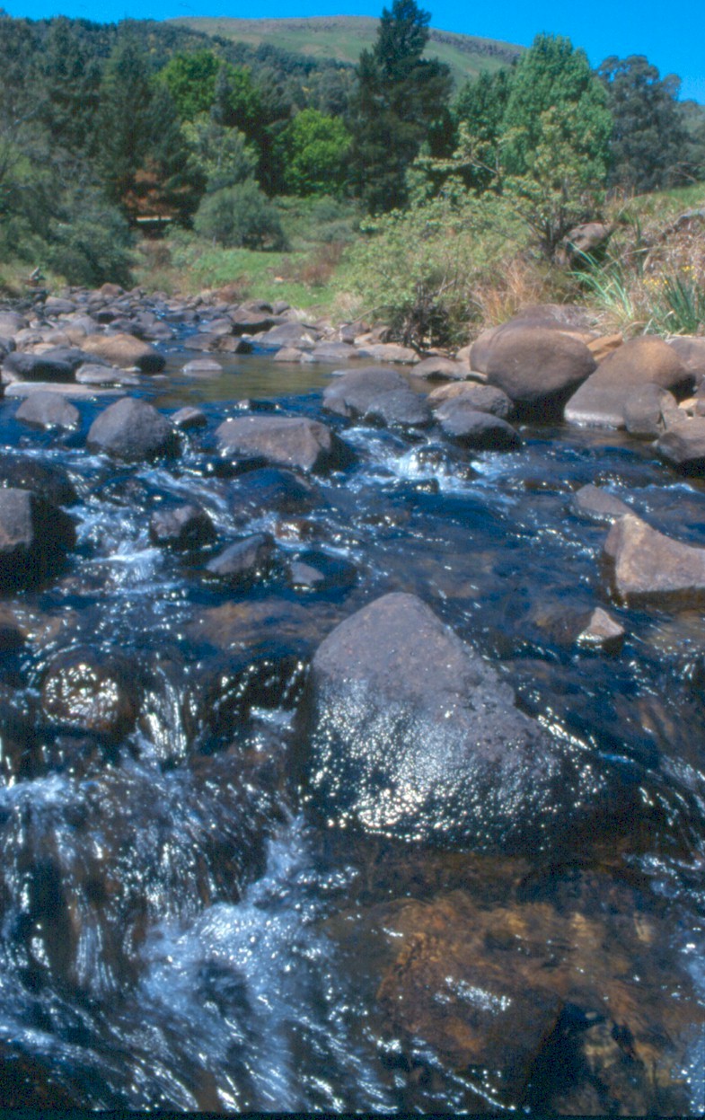
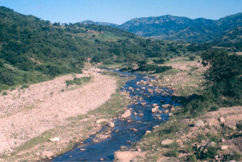
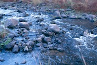
MIDLAND MOUNTAIN STREAMS:
Veld type: Dominated by (75%) highland sourveld and transition to Cymbopogon-Themeda veld
Terrain: 29% high mountains, with a mix of low mountains, undulating hills and lowlands
Geology: 46% dolerite, 38% shales, siltstones & sandstones
Soil: 55% well-drained soils, 33% shallow soils on weathering rock
Average altitude: 1 600m
Average air temperature: 15°C
MAP: 720mm
MAR: 195mm
|
|
|
MIDLAND FOOTHILL STREAMS:
Veld type: 41% Ngongoni veld of Natal mist-belt with 30% highland sourveld and Dohne sourveld
Terrain: Low mountains (41%)and undulating hills and lowlands (40%)
Geology: 42% shales and siltstones with 35% dolerite & 16% sandstones
Soil: 64% well-drained soils, 25% shallow soils on weathering rock
Average altitude: 1 200m
Average air temperature: 15°C
MAP: 930mm
MAR: 175mm
|
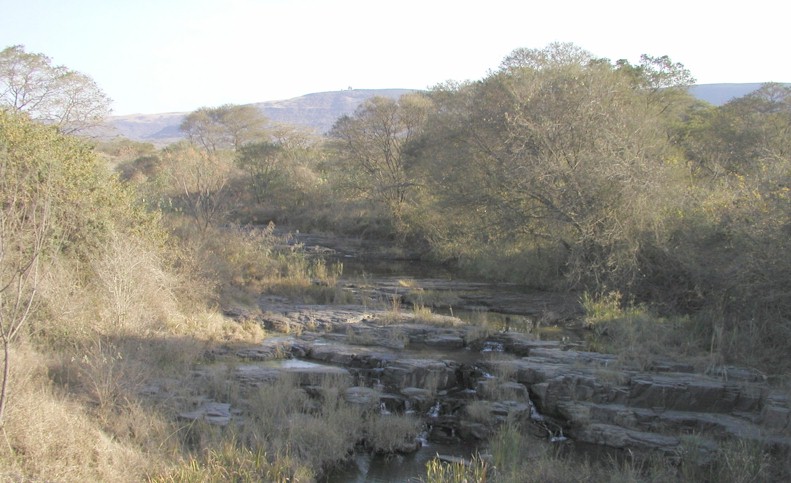
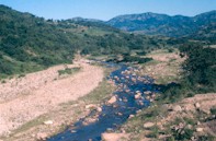
SAVANNAH STREAMS:
Veld type: Dominated by (66%) Ngongoni veld, with 13% Ngongoni veld of Natal mist-belt and 12% Pondoland coastal plateau sourveld
Terrain: A mix of highly dissected undulating mountains, low mountains, undulating hills and lowlands
Geology: 36% shales and siltstones, 21% Natal red-brown sandstones
Soil: 42% well-drained soils, shallow (30%) and poorly drained soils (20%)
Average altitude: 650m
Average air temperature: 18°C
MAP: 890mm
MAR: 100mm
|

|
|
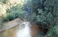
VALLEY BUSHVELD STREAMS:
Veld type: 99% valley bushveld
Terrain: Low mountains (39%) with 27% mountains, and lowlands
Geology: 30% granites, 23% Natal red-brown sandstones
Soil: 33% shallow soils on weathering rock, 42% well-drained soils
Average altitude: 700m
Average air temperature: 20°C
MAP: 720mm
MAR: 95mm
|
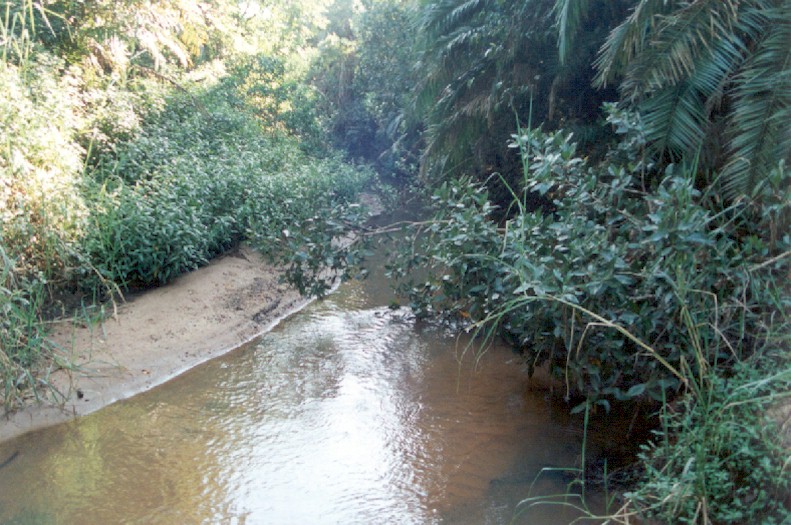
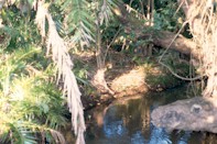
SANDY LOWLAND STREAMS:
Veld type: 98% coastal forest and thornveld
Terrain: dominated by (60%) highly dissected undulating mountains with 21% plains
Geology: 58% Natal red-brown sandstones, 24% granites and shales
Soil: 60% shallow soils on weathering rock
Average altitude: < 200m
Average air temperature: 20°C
MAP: 940mm
MAR: 200mm
|
|
|
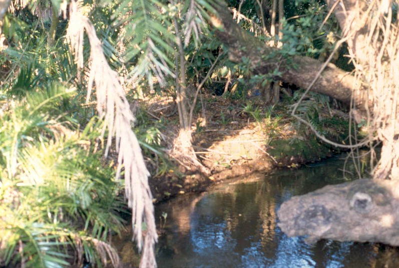
COASTAL BELT STREAMS:
Veld type: 91% coastal forest and thornveld
Terrain: Plains
Geology: 56% Berea red sands, 39% beach sands
Soil: 55% shallow soils on weathering rock, 25% well-drained soils
Average altitude: < 200m
Average air temperature: 20°C
MAP: 890mm
MAR: 120mm
|
|