| Drivers
of Ecological Change (Land-use activities)
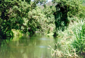
General: There
is extensive forestry in this region of the catchment. Roads and plantations
close to streams impair in-stream and riparian health due to erosion, sedimentation
and resulting smothering of habitats. The extent of invasion/encroachment
by alien vegetation is a serious threat to ecosystem health. Madumbi (similar
to sweet potato) farming takes place in wetland areas. Loss of natural
vegetation and water uptake in these areas destabilises the soils and the
filtering functions of the wetlands. Black bass, an alien fish species,
occurs in this ecoregion. These threaten indigenous species by preying
on them.
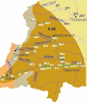
Sabie River:
Sawdust from sawmill impacts riparian zone and washes into the river
during rain events. Cresols and phenols leach out of sawdust, acidifying
the soil and water. The dust itself also smothers vegetation and in-stream
habitats, lowering vegetation health and invertebrate diversity and abundance.
Finer dust particles clog the gills of fish. Erosion and sedimentation
results from dirt roads and fruit orchards such as banana plantations close
to the river. This impairs in-stream water quality and reduces habitat
availability. Blue gill sunfish, an alien species, is found in the Langspruit.
Sabane River:
This is the third worst affected river by alien plants in this catchment.
Sedimentation, associated with floods, occurs in places, primarily due
to agricultural activities. Although development in the Sabie Catchment
is restricted by law (due to the conservation importance of this river),
and all development requires an Environmental Impact Assessment, several
banana plantations have developed along the Sabane River, and are causing
severe erosion and sedimentation.
The Klein
Sabie River is impacted by industry and urban development in the area.
The riparian zone is affected by alien vegetation and forestry activities.
Marite:
Disturbance and erosion from the construction of the Injaka Dam have caused
sedimentation downstream. This results in loss of in-stream habitat through
smothering of interstitial spaces between rocks on the riverbed. Sedimentation
may also lead to increased frequency or severity of flooding.
Mutlumuvi:
the Zoeknog Dam failed during 1993, resulting in severe scouring, sedimentation
and habitat changes downstream. However, most of the habitats have since,
at least, partially recovered. Of the approximately 30 hectares of disturbed
soil which elevated the rate of erosion, some 5 ha have already been rehabilitated
by the Save the Sand initiative.
Desired Ecological
State and Response by Resource Managers
It is desirable
that streams in this region be maintained in a good
state. Exceptions are the Mutlumuvi and Sabane, where only fair
and poor
states respectively are deemed realistically achievable. |